Polgear

Coordinates: 50°11′10″N 5°14′24″W / 50.186°N 5.240°W
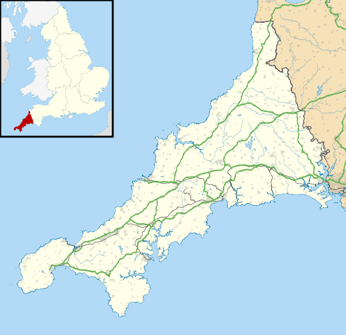
Polgear is a group of farms south of Four Lanes in west Cornwall, England.[1]
See also
References
- ↑ Ordnance Survey One-inch Map of Great Britain; Land's End, sheet 189. 1961
Cornwall Portal | |
| Unitary authorities | |
| Major settlements |
|
| Rivers | |
| Topics | |
This article is issued from Wikipedia - version of the 3/2/2016. The text is available under the Creative Commons Attribution/Share Alike but additional terms may apply for the media files.