Qala Phusa
For the mountain in the Larecaja Province, La Paz Department, Bolivia, see Qala Phusa.
| Qala Phusa | |
|---|---|
| Q'ululu | |
 Qala Phusa Location in Bolivia | |
| Highest point | |
| Elevation | 5,465 m (17,930 ft) [1] |
| Coordinates | 14°53′14″S 69°6′54″W / 14.88722°S 69.11500°WCoordinates: 14°53′14″S 69°6′54″W / 14.88722°S 69.11500°W |
| Geography | |
| Location |
Bolivia, La Paz Department, Franz Tamayo Province, Pelechuco Municipality |
| Parent range | Andes, Apolobamba |
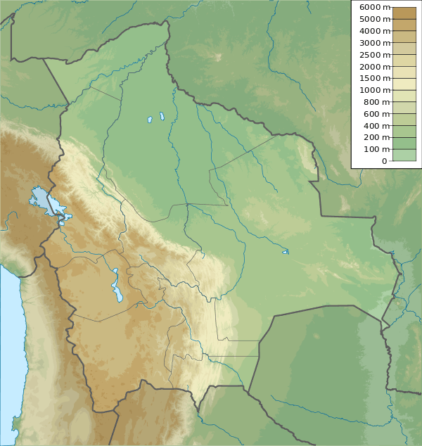
Qala Phusa (Aymara qala stone, phusa siku,[2][3] "stone siku", also spelled Khala Phusa) or Q'ululu (Aymara for stallion of a llama, alpaca or vicuña,[4] Hispanicized spelling Cololo)[5] is a 5,465-metre-high (17,930 ft) mountain in the Apolobamba mountain range in Bolivia. It situated in the La Paz Department, Franz Tamayo Province, Pelechuco Municipality. Qala Phusa lies southwest of Waracha and southeast of Jach'a Waracha.[1][6]
References
- 1 2 BIGM map 1:100,000 3041 Pelechuco
- ↑ Radio San Gabriel, "Instituto Radiofonico de Promoción Aymara" (IRPA) 1993, Republicado por Instituto de las Lenguas y Literaturas Andinas-Amazónicas (ILLLA-A) 2011, Transcripción del Vocabulario de la Lengua Aymara, P. Ludovico Bertonio 1612 (Spanish-Aymara-Aymara-Spanish dictionary)
- ↑ Teodoro Marka M., Nociones Basicas de Lengua Aymara
- ↑ "Diccionario Bilingüe, Castellano - Aymara, 2002". Félix Layme Pairumani. Retrieved November 4, 2015. (see: Padrillos)
- ↑ John Biggar, The Andes - A Guide for Climbers
- ↑ "Pelechuco". ine.gob.bo. Archived from the original on December 7, 2014. Retrieved September 1, 2014. (unnamed)
This article is issued from Wikipedia - version of the 7/21/2016. The text is available under the Creative Commons Attribution/Share Alike but additional terms may apply for the media files.