Randolph County Airport
| Randolph County Airport | |||||||||||
|---|---|---|---|---|---|---|---|---|---|---|---|
| IATA: none – ICAO: none – FAA LID: I22 | |||||||||||
| Summary | |||||||||||
| Airport type | Public | ||||||||||
| Owner | Randolph County BOAC | ||||||||||
| Location | Winchester, Indiana | ||||||||||
| Elevation AMSL | 1,122.8 ft / 342.2 m | ||||||||||
| Coordinates | 40°10′04″N 84°55′45″W / 40.16778°N 84.92917°WCoordinates: 40°10′04″N 84°55′45″W / 40.16778°N 84.92917°W | ||||||||||
| Website | http://randolphcounty.us/departments/airport | ||||||||||
| Map | |||||||||||
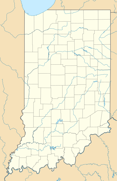 I22  I22 Location of airport in Indiana/United States | |||||||||||
| Runways | |||||||||||
| |||||||||||
Randolph County Airport (I22) is a public airport 3 miles (4.8 km) east of Winchester, in Randolph County, Indiana. The airport was founded in June 1948.
References
External links
This article is issued from Wikipedia - version of the 12/5/2016. The text is available under the Creative Commons Attribution/Share Alike but additional terms may apply for the media files.