Rapagnano
| Rapagnano | |
|---|---|
| Comune | |
| Comune di Rapagnano | |
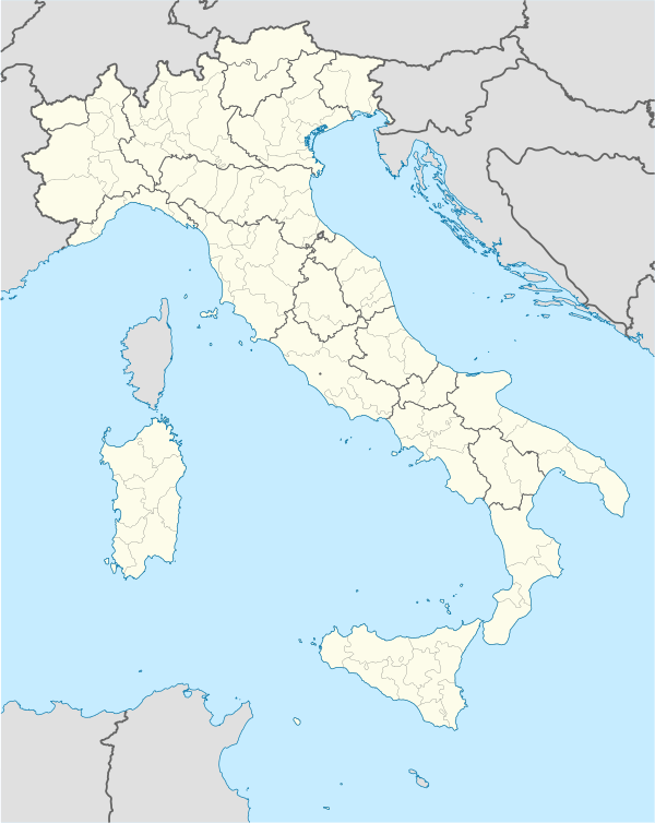 Rapagnano Location of Rapagnano in Italy | |
| Coordinates: 43°10′N 13°36′E / 43.167°N 13.600°ECoordinates: 43°10′N 13°36′E / 43.167°N 13.600°E | |
| Country | Italy |
| Region | Marche |
| Province / Metropolitan city | Fermo (FM) |
| Frazioni | Piane di Rapagnano |
| Government | |
| • Mayor | Remigio Ceroni |
| Area | |
| • Total | 12.5 km2 (4.8 sq mi) |
| Elevation | 314 m (1,030 ft) |
| Population (31 December 2008)[1] | |
| • Total | 2,009 |
| • Density | 160/km2 (420/sq mi) |
| Demonym(s) | Rapagnanesi |
| Time zone | CET (UTC+1) |
| • Summer (DST) | CEST (UTC+2) |
| Postal code | 63020 |
| Dialing code | 0734 |
Rapagnano is a comune (municipality) in the Province of Fermo in the Italian region Marche, located about 50 kilometres (31 mi) south of Ancona and about 35 kilometres (22 mi) north of Ascoli Piceno.
References
Official Site of Rapagnano (Italian)
This article is issued from Wikipedia - version of the 1/31/2015. The text is available under the Creative Commons Attribution/Share Alike but additional terms may apply for the media files.