Rat Island (Seychelles)
| Nickname: Brulee Island | |
|---|---|
 Rat Island | |
| Geography | |
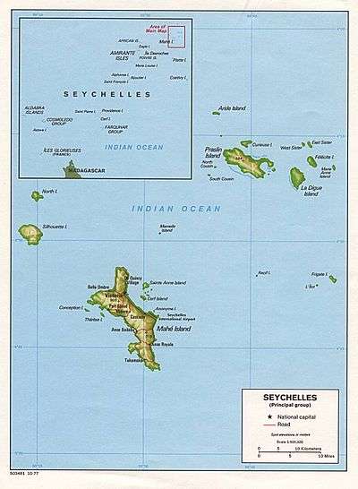
| Location | Seychelles, Indian Ocean |
| Coordinates | 4°40′S 55°32′E / 4.667°S 55.533°ECoordinates: 4°40′S 55°32′E / 4.667°S 55.533°E |
| Archipelago | Inner Islands, Seychelles |
| Adjacent bodies of water | Indian Ocean |
| Total islands | 1 |
| Major islands |
|
| Area | 0.009 km2 (0.0035 sq mi) |
| Length | 0.1 km (0.06 mi) |
| Width | 0.1 km (0.06 mi) |
| Coastline | 0.4 km (0.25 mi) |
| Highest elevation | 12 m (39 ft) |
| Administration | |
| Group | Granitic Seychelles |
| Sub-Group | Mahe Islands |
| Sub-Group | Anonyme Islands |
| Districts | Pointe La Rue |
| Demographics | |
| Demonym | Creole |
| Population | 0 (2014) |
| Pop. density | 0 /km2 (0 /sq mi) |
| Ethnic groups | Creole, French, East Africans, Indians. |
| Additional information | |
| Time zone | |
| Official website |
www |
| ISO Code = SC-20 | |
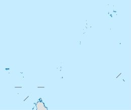
Rat Island is a small granitic islet (0.01 km²) in the Seychelles, Located 600 m east of the island of Mahé, near the runway of the Seychelles International Airport. the island is 1.3 km from other neighboring Anonyme Island. Rat Island is almost circular in shape, its length is 88 meters, width - 93 m. It has some low growing shrubs.
Administration
The island belongs to Pointe La Rue District.[1]
Image gallery
 Map 1
Map 1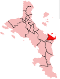 District Map
External links
References
| Wikimedia Commons has media related to Anonyme. |
This article is issued from Wikipedia - version of the 12/1/2016. The text is available under the Creative Commons Attribution/Share Alike but additional terms may apply for the media files.