Angu River
| Angu River | |
| River | |
| Country | Brazil |
|---|---|
| state | Minas Gerais |
| Source | |
| - elevation | 700 m (2,297 ft) |
| - coordinates | 21°46′3″S 42°54′34″W / 21.76750°S 42.90944°W |
| Mouth | |
| - location | Volta Grande, MG, Brazil |
| - coordinates | 21°48′24″S 42°30′33″W / 21.80667°S 42.50917°WCoordinates: 21°48′24″S 42°30′33″W / 21.80667°S 42.50917°W |
| Length | 58 km (36 mi) |
The Angu River is a river in the Brazilian state of Minas Gerais. It is a left bank tributary of the Rio Paraiba do Sul. It is 58 km (36 mi) in length and drains an area of 346 km2 (134 sq mi) .[1]
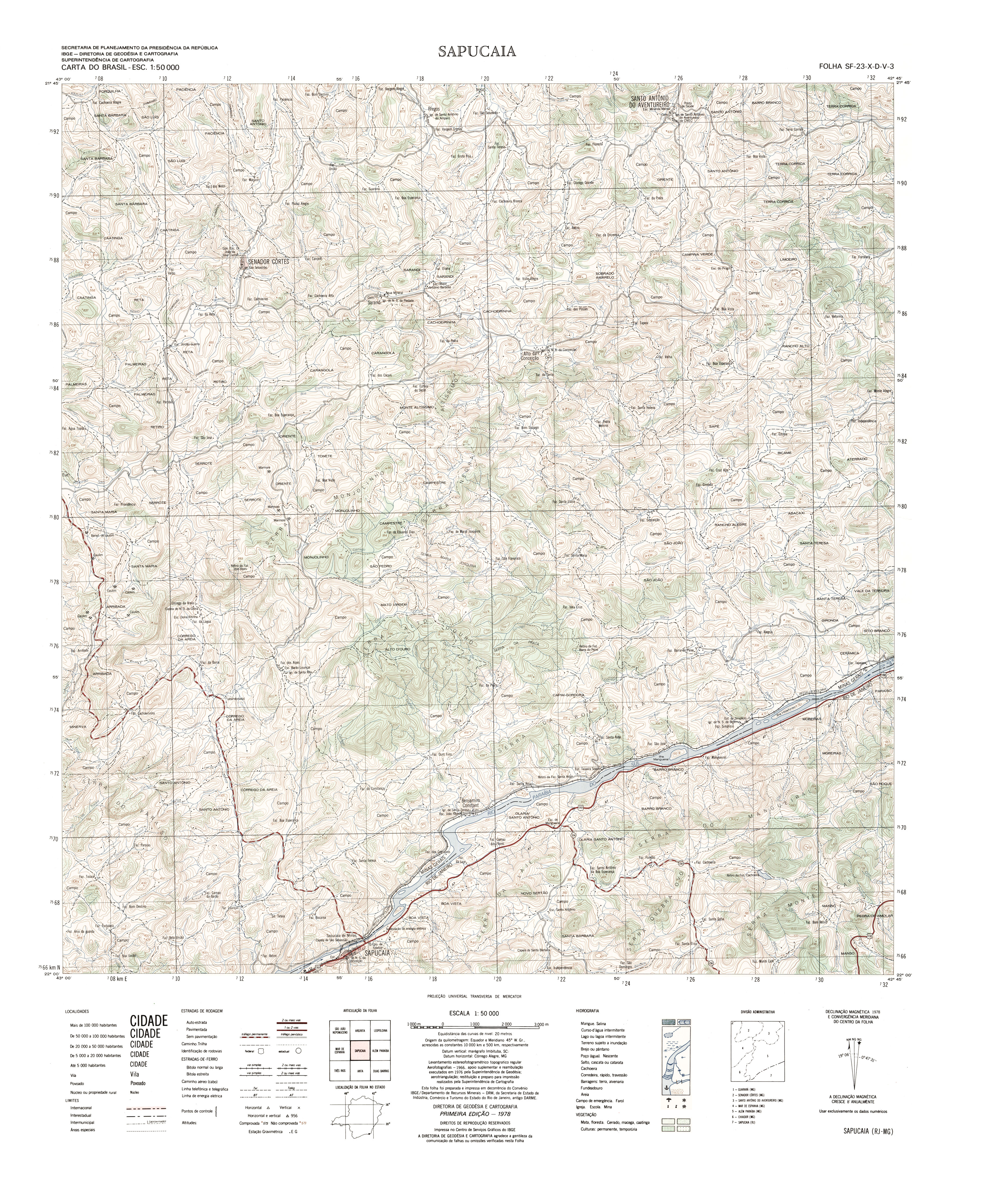
The source of the river is located in the municipality of Senador Cortes [2] and it passes through the municipalities of Santo Antônio do Aventureiro and Além Paraíba to its mouth on the Paraiba do Sul near the city of Volta Grande .[3]
References
- ↑ "Programa Nacional de Avaliação da Qualidade das Águas". Agência Nacional de Águas (ANA).
- ↑ "Carta do Brasil SF-23-X-D-V-3 Sapucaia" (JPG). Instituto Brasileiro de Geografia e Estatística (IBGE).
- ↑ "Carta do Brasil SF-23-X-D-V-1 Argirita" (JPG). Instituto Brasileiro de Geografia e Estatística (IBGE).
This article is issued from Wikipedia - version of the 1/23/2014. The text is available under the Creative Commons Attribution/Share Alike but additional terms may apply for the media files.