Salmond's Muir
Coordinates: 56°31′49″N 2°41′04″W / 56.530335°N 2.684395°W
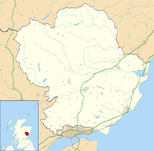
Salmond's Muir is a hamlet in the council area of Angus, Scotland. It is situated 2 miles (3 km) north-east of Carnoustie and 4 miles (6 km) west of Arbroath on the A92 road.[1] The junction of the A92 at Salmond's Muir forms the main route to the villages of Panbride, East Haven, Balmirmer and Scryne.

Salmond's Muir
Salmond's Muir is recorded in documents of the Commissioners of the Guardians of Scotland from 1286, in which a dispute over ownership of the land was settled with the land being determined as property of Christiana of Maule.[2]
References
- ↑ "Dundee and Montrose, Forfar and Arbroath", Ordnance Survey Landranger Map (B2 ed.), 2007, ISBN 0-319-22980-7
- ↑ Maule, Harry (1874), Stuart, John, ed., Registrum de Panmure. Records of the families of Maule, De Valoniis, Brechin, and Brechin-Barclay, united in the line of the Barons and Earls of Panmure, Edinburgh: Fox Maule-Ramsay
See also
This article is issued from Wikipedia - version of the 5/8/2012. The text is available under the Creative Commons Attribution/Share Alike but additional terms may apply for the media files.