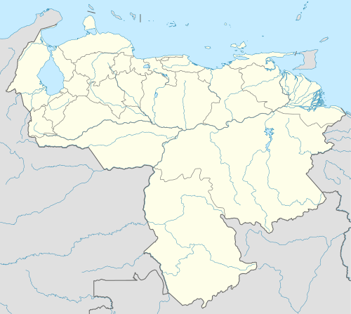
San Antonio de Los Altos
| San Antonio de Los Altos | |||
|---|---|---|---|
| |||
 San Antonio de Los Altos | |||
| Coordinates: 10°22′28″N 66°58′01″W / 10.37444°N 66.96694°WCoordinates: 10°22′28″N 66°58′01″W / 10.37444°N 66.96694°W | |||
| Country |
| ||
| State | Miranda | ||
| Municipality | Los Salias Municipality | ||
| Founded | 1 May 1683 | ||
| Area | |||
| • Total | 51 km2 (20 sq mi) | ||
| Elevation | 1,600 m (5,200 ft) | ||
| Population | |||
| • Total | 74,422 | ||
| • Demonym | Sanantoñero/a | ||
| Time zone | VST | ||
| Postal code | 1204 | ||
| Area code(s) | 0212 | ||
| Climate | Cfb | ||
San Antonio de los Altos is a suburban town, capital of Los Salias Municipality, Miranda State, Venezuela with a population of 75,000 in 2001. The town got his name referring to the patron saint of the region and the mountainous area.
Geography
It covers an area of about 55 km2 and has an average altitude of 1600 meters above sea level.
This article is issued from Wikipedia - version of the 10/14/2016. The text is available under the Creative Commons Attribution/Share Alike but additional terms may apply for the media files.

