Shimoda, Aomori
| Shimoda 下田町 | |
|---|---|
| Former municipality | |
|
Location of Shimoda in Aomori Prefecture | |
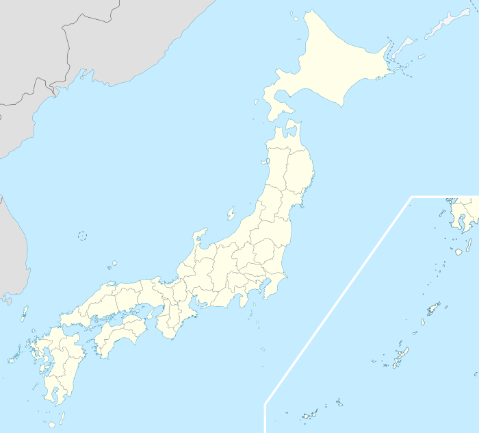 Shimoda Location in Japan | |
| Coordinates: 40°35′56.50″N 141°23′51.4″E / 40.5990278°N 141.397611°ECoordinates: 40°35′56.50″N 141°23′51.4″E / 40.5990278°N 141.397611°E | |
| Country | Japan |
| Region | Tōhoku |
| Prefecture | Aomori Prefecture |
| District | Kamikita |
| Merged |
March 1, 2006 (now part of Oirase) |
| Area | |
| • Total | 50.44 km2 (19.47 sq mi) |
| Population (February 1, 2006) | |
| • Total | 14,282 |
| • Density | 283/km2 (730/sq mi) |
| Symbols | |
| • Tree | Ginkgo |
| • Flower | Rhododendron |
| • Bird | swan |
| Time zone | Japan Standard Time (UTC+9) |
Shimoda (下田町 Shimoda-machi) was a town located in Kamikita District in central Aomori Prefecture, Japan.
On March 1, 2006 Shimoda, along with the neighboring town of Momoishi (also from Kamikita District), was merged to create the town of Oirase, and thus it no longer exists as an independent municipality.
Shimoda Village was founded on April 1, 1889. On August 1, 1969 it was elevated to town status.
Located inland in central Aomori Prefecture and along the Oirase River, the town had an agriculture-based economy based on the production of rice, carrots, and Japanese yams. The town also served as a bed town for nearby Misawa, and shortly before its merger, AEON Group and Jusco opened large-scale shopping centers, expanding the town's commercial base.
At the time of its merger, the town had an estimated population of 14,282 and a density of 283 persons per km². The total area was 50.44 km².
Shimoda was served by Route 45 (Japan) highway, and by Shimoda Station and Mukaiyama Station on the Tōhoku Main Line railway.