Strethall
| Strethall | |
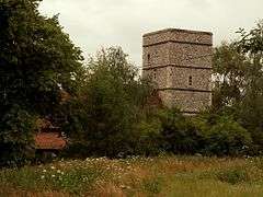 St. Mary's church, Strethall. |
|
 Strethall |
|
| OS grid reference | TL482393 |
|---|---|
| – London | 39.5 mi (63.6 km) |
| District | Uttlesford |
| Shire county | Essex |
| Metropolitan county | Essex |
| Region | East |
| Country | England |
| Sovereign state | United Kingdom |
| Post town | SAFFRON WALDEN |
| Postcode district | CB |
| Police | Essex |
| Fire | Essex |
| Ambulance | East of England |
| EU Parliament | East of England |
| UK Parliament | Saffron Walden |
| Website | Strethall homepage |
Coordinates: 52°01′57″N 0°09′42″E / 52.0324°N 0.1617°E
Strethall is a village and a civil parish in the Uttlesford District, in the English county of Essex, near the town of Saffron Walden.
Having suffered no casualties in World War I it is known as one of the thankful villages.
The Icknield Way Path passes through the village on its 110 mile route between Ivinghoe Beacon in Buckinghamshire and Knettishall Heath in Suffolk. The [1] A route for walkers, horse riders and off-road cyclists also passes through the village.
References
External links
See also
This article is issued from Wikipedia - version of the 6/23/2016. The text is available under the Creative Commons Attribution/Share Alike but additional terms may apply for the media files.