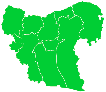
Tat Hims
"Tathims" redirects here. For the river Thames island previously known as Tathim's island, see Steven's Eyot.
| Tat Hims طاط حمس | |
|---|---|
| Village | |
 Tat Hims Location of Tat Hims in Syria | |
| Coordinates: 36°37′05″N 37°22′38″E / 36.6181°N 37.3772°ECoordinates: 36°37′05″N 37°22′38″E / 36.6181°N 37.3772°E | |
| Country |
|
| Governorate | Aleppo |
| District | Azaz |
| Subdistrict | Akhtarin |
| Elevation | 481 m (1,578 ft) |
| Population (2004)[1] | 1,722 |
| Time zone | EET (UTC+2) |
| • Summer (DST) | EEST (UTC+3) |
| Geocode | C1602 |
Tat Hims (Arabic: طاط حمس), alternatively spelled Tathumus, is a village in northern Aleppo Governorate, northwestern Syria. About 45 kilometres (28 mi) northeast of the city of Aleppo and just about 4 km (2.5 mi) south of Syria's border with Turkey, it is administratively part of Nahiya Akhtarin of Azaz District. Nearby localities include Qantarah 1 km (0.62 mi) to the south and al-Rai 6 km (3.7 mi) to the east. In the 2004 census, Tat Hims had a population of 1,722.[1]
References
- 1 2 "2004 Census Data for Nahiya Akhtarin" (in Arabic). Syrian Central Bureau of Statistics. Retrieved 15 October 2015. Also available in English: UN OCHA. "2004 Census Data". Humanitarian Data Exchange. Retrieved 4 December 2015.
This article is issued from Wikipedia - version of the 9/5/2016. The text is available under the Creative Commons Attribution/Share Alike but additional terms may apply for the media files.

