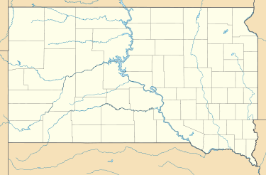
Terry Peak
| Terry Peak | |
|---|---|
| Location | Lawrence County, South Dakota, U.S. |
| Nearest city | Lead, South Dakota |
| Vertical | 1,053 feet (321 m) |
| Top elevation | 7,064 feet (2,153 m) |
| Skiable area | 450 acres (1.8 km2) |
| Runs | 30 total |
| Lift system | 4 total |
| Terrain parks | 1 total |
| Website | http://www.terrypeak.com/ |
| Terry Peak | |
|---|---|
 Terry Peak | |
| Highest point | |
| Coordinates | 44°19′44″N 103°50′06″W / 44.329°N 103.835°WCoordinates: 44°19′44″N 103°50′06″W / 44.329°N 103.835°W |
| Geography | |
| Parent range | Black Hills |
Terry Peak is a mountain and ski area in the Black Hills outside of Lead, South Dakota, USA.[1] It is the most prominent peak in the Northern Black Hills area. Terry Peak was first used as a ski area in 1936 by the Bald Mountain Ski Club when a rope tow was installed. The first chair lift was installed in 1952 and began operation in 1954. Terry Peak has since seen many upgrades in chair lifts, trails, and accommodations. Currently, there are three "high speed" chairlifts (Kussy,Surprise and Gold Corp Express, or "Blue","Yellow" and "Red," respectively), which provide access to most of the runs on the mountain in a matter of minutes, as well as one traditional-speed lift (Stewart, or "Green"), and a Sno-Carpet. Several radio stations have transmitter towers at the summit.
Terry Peak was named for Alfred Howe Terry, who had explored the area.[2]
Ski area description
- 30 runs[3][4]
- 4 lifts (Black lift was removed and replaced by Sno-Carpet)
- Terrain park
- Snowmaking
- Ski and snowboard rental
See also
References
- ↑ "The Mountain Info". Terry Peak. Retrieved 2008-03-04.
- ↑ U.S. Geological Survey Geographic Names Information System: Terry Peak
- ↑ "Terry Peak, South Dakota". GoSki.com. Archived from the original on March 21, 2006. Retrieved 2008-02-27.
- ↑ "Statistics". Terry Peak. Retrieved 2008-03-04.