Tula Point
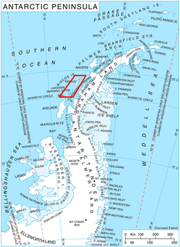
Tula Point (65°31′S 65°39′W / 65.517°S 65.650°WCoordinates: 65°31′S 65°39′W / 65.517°S 65.650°W) is a point forming the northeast extremity of Renaud Island in the Biscoe Islands. Alino Island lies 1 km south-southeast of the point.
The Biscoe Islands were discovered in 1832 by a British expedition under John Biscoe and were first roughly surveyed by the French Antarctic Expedition, 1903–05 and 1908-10. Renaud Island was again roughly surveyed in 1935-36 by the British Graham Land Expedition (BGLE). The point was named in 1954 by the United Kingdom Antarctic Place-Names Committee (UK-APC) for the Tula, one of the two vessels of Biscoe's 1830-32 expedition.
![]() This article incorporates public domain material from the United States Geological Survey document "Tula Point" (content from the Geographic Names Information System).
This article incorporates public domain material from the United States Geological Survey document "Tula Point" (content from the Geographic Names Information System).