Weaver Hills
Coordinates: 53°00′53″N 1°51′37″W / 53.0148°N 1.8603°W
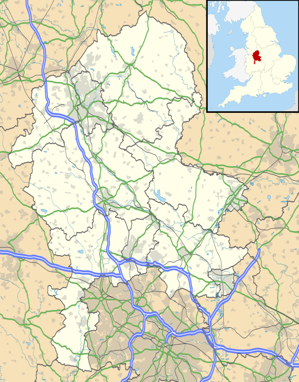
The Weaver Hills are a small range of hills in north Staffordshire, England.[1]

The Weaver Hills are about 15 miles (24 km) east of Stoke-on-Trent and about 5 miles (8 km) west of Ashbourne, Derbyshire, just south of the A52 road and north of the Churnet Valley. The area is often considered to be the most southerly peak of the Pennines, certainly the southernmost point of that range's carboniferous limestone rock strata.
The main peak, with an Ordnance Survey trig point is 371 metres (1,217 ft) above sea level. The southern slopes are rather steep, overlooking the hamlets of Ramsor and Wootton, while the north is more gently sloped towards the Staffordshire Moorlands.
The ten or more tumuli on or around the Weaver Hills, including Cauldon Low (a peak in the same range just to the east) imply significant prehistoric settlements in the area.
About a mile south of the main peak is Wootton Lodge and Wootton Hall, whose claims to fame include that Jean-Jacques Rousseau rented the Hall in 1766. He was a refugee from France, where his revolutionary ideas made life difficult for him. However, the peace and tranquility which had so attracted him to the area nearly drove him mad, because he could not leave his fears behind. Arthur Mee says,
He was filled with the embittered suspicions of a hunted animal, seeing enmity and treachery in his friends and deadly foes in his neighbours [2]
Wardlow Quarry

Wardlow Quarry is a large quarry situated on the north-east side of the main peak, and just off the A52 main road from Ashbourne to The Potteries. It is a limestone quarry, owned by Tarmac, but not being worked (May 2009). The nearby quarries at Cauldon Low are in use for cement production.
References
- ↑ Kent, Jeff, Staffordshire's 1,000-Foot Peaks, Witan Books, 2013, ISBN 978-0-9927505-0-3.
- ↑ Arthur Mee, "The King's England; Staffordshire", (1937), p. 243