Westmarsh
| Westmarsh | |
 The Way Out Inn, Westmarsh |
|
 Westmarsh |
|
| OS grid reference | TR2761 |
|---|---|
| District | Dover |
| Shire county | Kent |
| Region | South East |
| Country | England |
| Sovereign state | United Kingdom |
| Post town | Canterbury |
| Postcode district | CT3 |
| Police | Kent |
| Fire | Kent |
| Ambulance | South East Coast |
| EU Parliament | South East England |
Coordinates: 51°18′18″N 1°15′54″E / 51.305°N 1.265°E
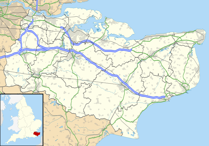
Westmarsh is a hamlet in the Ash civil parish of East Kent, England.[1][2] It is situated 8 miles (13 km) east of Canterbury and 7 miles (11 km) west of Ramsgate.
Westmarsh is within a designated area of outstanding natural beauty and orchard filled countryside.
The community centres on the village hall where local events are held. Historic buildings include Wingham Barton Manor, a Tudor country house, and Barton Barn, one of the oldest surviving isle barns in the country. The previous Rose Inn public house became the Way Out Inn tea shop. The nearest railway station is at Minster.
References
- ↑ Ordnance Survey: Landranger map sheet 179 Canterbury & East Kent (Dover & Margate) (Map). Ordnance Survey. 2013. ISBN 9780319228784.
- ↑ "Ordnance Survey Election Maps". www.ordnancesurvey.co.uk. Ordnance Survey. Retrieved 3 April 2016.
External links
![]() Media related to Westmarsh at Wikimedia Commons
Media related to Westmarsh at Wikimedia Commons
This article is issued from Wikipedia - version of the 9/14/2016. The text is available under the Creative Commons Attribution/Share Alike but additional terms may apply for the media files.
