Williams Lake Airport
| Williams Lake Airport | |||||||||||
|---|---|---|---|---|---|---|---|---|---|---|---|
 | |||||||||||
| Summary | |||||||||||
| Airport type | Public | ||||||||||
| Operator | City of Williams Lake | ||||||||||
| Location | Williams Lake, British Columbia | ||||||||||
| Time zone | PST (UTC−08:00) | ||||||||||
| • Summer (DST) | PDT (UTC−07:00) | ||||||||||
| Elevation AMSL | 3,083 ft / 940 m | ||||||||||
| Coordinates | 52°11′00″N 122°03′16″W / 52.18333°N 122.05444°WCoordinates: 52°11′00″N 122°03′16″W / 52.18333°N 122.05444°W | ||||||||||
| Website | www.williamslake.ca | ||||||||||
| Map | |||||||||||
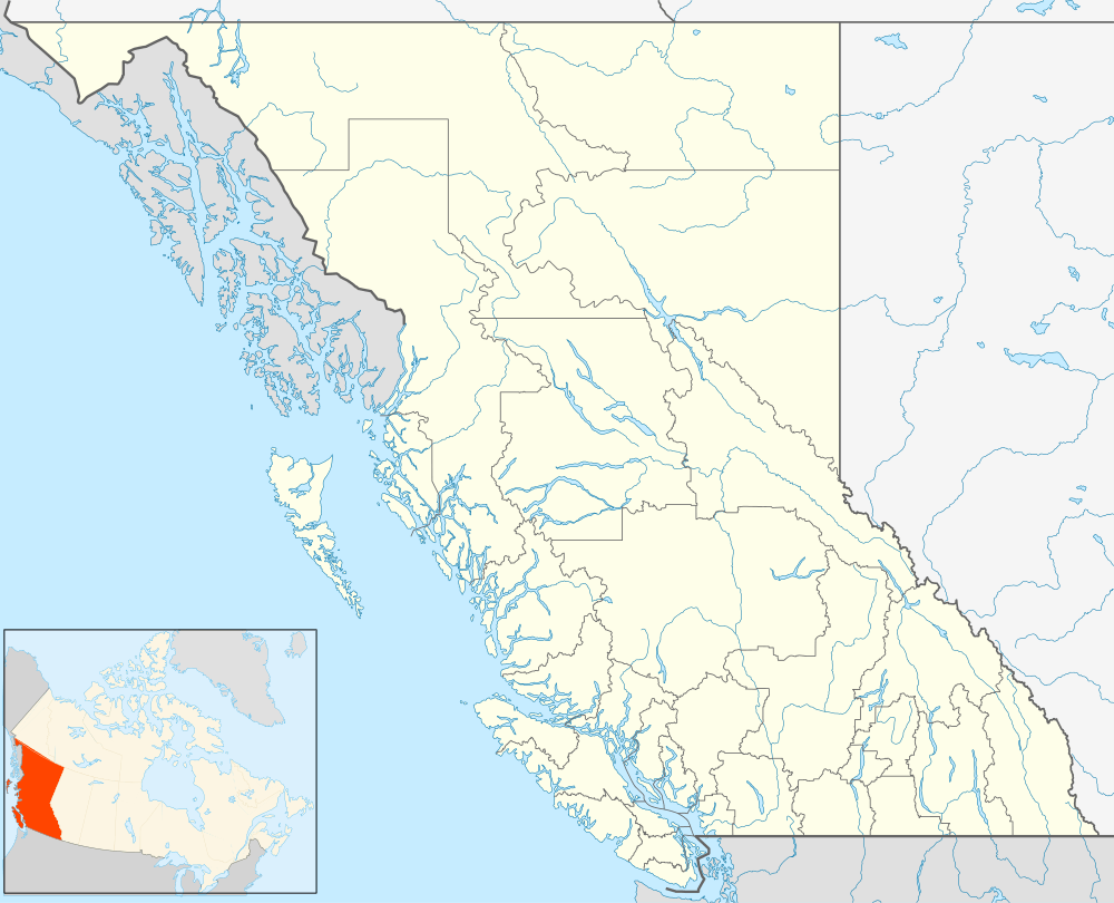 CYWL Location in British Columbia | |||||||||||
| Runways | |||||||||||
| |||||||||||
| Statistics (2010) | |||||||||||
| |||||||||||
Williams Lake Airport or Williams Lake Regional Airport, (IATA: YWL, ICAO: CYWL), is located 4.2 nautical miles (7.8 km; 4.8 mi) northeast of Williams Lake, British Columbia, Canada.
Airlines and destinations
| Airlines | Destinations |
|---|---|
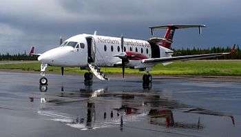
| Pacific Coastal Airlines | Vancouver[4] |
| Carson Air[5] | Vancouver, Kelowna'"MedEvac Only"' |
| Central Mountain Air | Vancouver |
| Northern Thunderbird Air | Vancouver |
See also
References
- ↑ Canada Flight Supplement. Effective 0901Z 15 September 2016 to 0901Z 10 November 2016
- ↑ Synoptic/Metstat Station Information
- ↑ Total aircraft movements by class of operation — NAV CANADA flight service stations
- ↑ "Directory: World Airlines". Flight International. 2007-04-10. p. 60.
- ↑ Carson Air
External links
| Wikimedia Commons has media related to Williams Lake Airport. |
- Past three hours METARs, SPECI and current TAFs for Williams Lake Airport from Nav Canada as available.
| By name | |
|---|---|
| By location indicator | |
| By province/territory | |
| By region | |
| National Airports System | |
| Related | |
| |
This article is issued from Wikipedia - version of the 12/4/2016. The text is available under the Creative Commons Attribution/Share Alike but additional terms may apply for the media files.