Woodwell
Coordinates: 52°23′16″N 0°36′06″W / 52.3879°N 0.6017°W
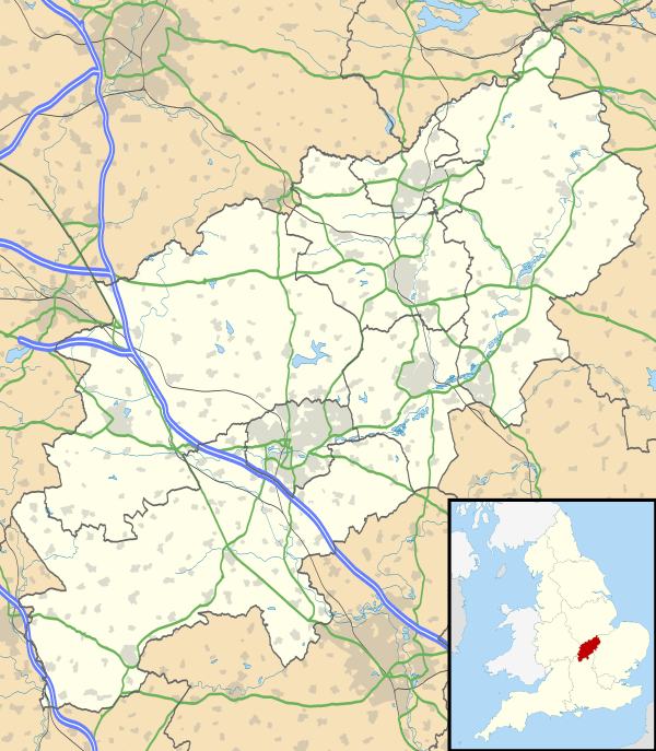
Woodwell is a hamlet in the English county of Northamptonshire, about a mile west of the village of Woodford (where the population is included).[1] It is at the end of a cul-de-sac lane.
References
- ↑ Streetmap.co.uk: Ordnance Survey 1:25,000 mapping. Retrieved 1 December 2009
External links
- Map sources for Woodwell
This article is issued from Wikipedia - version of the 7/13/2016. The text is available under the Creative Commons Attribution/Share Alike but additional terms may apply for the media files.
