Zamalka
| Zamalka زملكا | |
|---|---|
| Village | |
 Zamalka | |
| Coordinates: 33°31′31″N 36°21′10″E / 33.52528°N 36.35278°E | |
| Country |
|
| Governorate | Rif Dimashq Governorate |
| District | Markaz Rif Dimashq |
| Nahiyah | Arbin |
| Population (2004 census) | |
| • Total | 44,661 |
| Time zone | EET (UTC+2) |
| • Summer (DST) | EEST (UTC+3) |
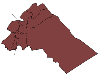
Zamalka (Arabic: زملكا) is a suburb of Damascus in Syria, located 3.5 kilometers (2.2 mi) east-northeast of Old Damascus. It is administratively a part of the Markaz Rif Dimashq District of the Rif Dimashq Governorate. Nearby localities include Jobar and al-Qabun to west and northwest, Harasta and Arbin to north and northeast, Hamouriyah and Saqba to east, Kafr Batna to southeast, Ein Tarma to the south and Al-Maamouniye to southwest. The Aleppo - Damascus Highway is the districts boundary in the west, separating Zamalka from the Jobar municipality of Damascus.[1]
According to the Syria Central Bureau of Statistics, Zamalka had a population of 44,661 in the 2004 census.[2]
History
Zamalka was visited by Syrian geographer Yaqut al-Hamawi in the early 13th-century, during Ayyubid rule. He noted that it was "a village of the Ghautah of Damascus. The Syrians often pronounce the name Zamluka."[3]
References
- ↑ "Zamalka/Damaskus - Wikimapia". Wikimapia.
- ↑ General Census of Population and Housing 2004. Syria Central Bureau of Statistics (CBS). Rif Dimashq Governorate. (Arabic)
- ↑ le Strange, 1890, p. 555
Bibliography
- le Strange, Guy (1890). Palestine Under the Moslems: A Description of Syria and the Holy Land from A.D. 650 to 1500. Committee of the Palestine Exploration Fund.
