Água Azul do Norte
| Água Azul do Norte | |
|---|---|
| Municipality | |
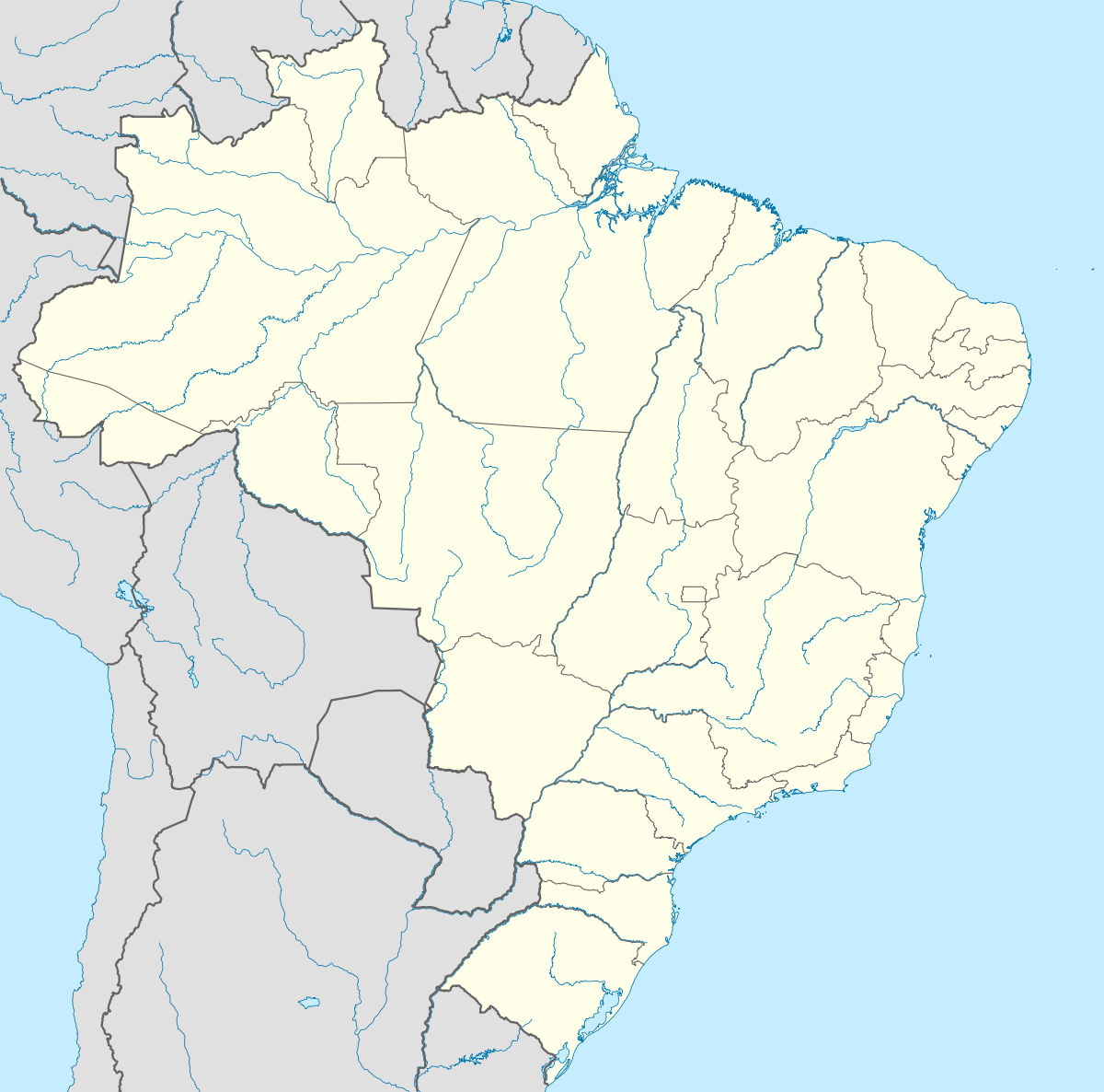
 Location of Água Azul do Norte in the State of Pará | |
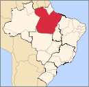
 Água Azul do Norte Location in Brazil | |
| Coordinates: BR 6°47′27″S 50°28′01″W / 6.79083°S 50.46694°WCoordinates: BR 6°47′27″S 50°28′01″W / 6.79083°S 50.46694°W | |
| Country |
|
| Region | Northern |
| State | Pará |
| Mesoregion | Sudeste Paraense |
| Time zone | UTC -3 |
| Website | Official website |
Água Azul do Norte is a municipality in the state of Pará in the Northern region of Brazil.[1][2][3][4]
The municipality contains a small part of the Carajás National Forest, a 411,949 hectares (1,017,950 acres) sustainable use conservation unit created in 1998 that includes mining operations in a huge deposit of high-grade iron ore.[5]
See also
References
- ↑ "Divisão Territorial do Brasil" (in Portuguese). Divisão Territorial do Brasil e Limites Territoriais, Instituto Brasileiro de Geografia e Estatística (IBGE). July 1, 2008. Retrieved December 17, 2009.
- ↑ "Estimativas da população para 1º de julho de 2009" (PDF) (in Portuguese). Estimativas de População, Instituto Brasileiro de Geografia e Estatística (IBGE). August 14, 2009. Retrieved December 17, 2009.
- ↑ "Ranking decrescente do IDH-M dos municípios do Brasil" (in Portuguese). Atlas do Desenvolvimento Humano, Programa das Nações Unidas para o Desenvolvimento (PNUD). 2000. Retrieved December 17, 2009.
- ↑ "Produto Interno Bruto dos Municípios 2002-2005" (PDF) (in Portuguese). Instituto Brasileiro de Geografia e Estatística (IBGE). December 19, 2007. Retrieved December 17, 2009.
- ↑ FLONA de Carajás (in Portuguese), ISA: Instituto Socioambiental, retrieved 2016-05-30
Capital: Belém | |||||||||||||||||||||||||||
| Mesoregion Baixo Amazonas |
|  | |||||||||||||||||||||||||
| Mesoregion Marajó |
| ||||||||||||||||||||||||||
| Mesoregion Metropolitana de Belém |
| ||||||||||||||||||||||||||
| Mesoregion Nordeste Paraense |
| ||||||||||||||||||||||||||
| Mesoregion Sudeste Paraense |
| ||||||||||||||||||||||||||
| Mesoregion Sudoeste Paraense |
| ||||||||||||||||||||||||||
This article is issued from Wikipedia - version of the 7/27/2016. The text is available under the Creative Commons Attribution/Share Alike but additional terms may apply for the media files.
