Čestlice
| Čestlice | |
|---|---|
| Municipality | |
 | |
 Location of Čestlice within Prague-East District | |
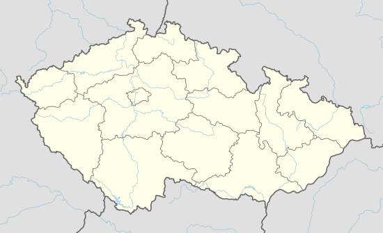
 Čestlice Location of Čestlice within Czech Republic | |
| Coordinates: 50°00′11″N 14°35′5″E / 50.00306°N 14.58472°ECoordinates: 50°00′11″N 14°35′5″E / 50.00306°N 14.58472°E | |
| Country |
|
| Region | Central Bohemian |
| District | Prague-East |
| Area | |
| • Total | 4.42 km2 (1.71 sq mi) |
| Elevation | 309 m (1,014 ft) |
| Population (2010) | |
| • Total | 588 |
| • Density | 130/km2 (340/sq mi) |
| Postal code | 250 71 |
| Website | http://www.cestlice-obec.cz/ |
Čestlice is a village and municipality in the Central Bohemian Region of the Czech Republic, near the city of Prague and the larger village of Průhonice. On July 3, 2006 it had 507 inhabitants. The village was first recorded in 1227.
The municipality lies at an altitude of 309 metres and covers an area of 4.42 km².
External links
| Wikimedia Commons has media related to Čestlice. |
- Village website (Czech)
This article is issued from Wikipedia - version of the 4/7/2016. The text is available under the Creative Commons Attribution/Share Alike but additional terms may apply for the media files.