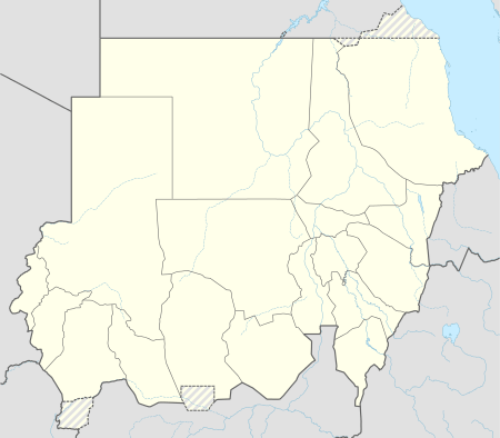
Berber, Sudan
| Berber Arabic: بربر | |
|---|---|
 Berber Location in Sudan | |
| Coordinates: 18°01′50″N 33°59′36″E / 18.03056°N 33.99333°ECoordinates: 18°01′50″N 33°59′36″E / 18.03056°N 33.99333°E | |
| Country |
|
| Population (1989) | |
| • Total | 16,650 |
Berber is a town in the River Nile state of northern Sudan, 50 km north of Atbara, near the junction of the Atbara River and the Nile.
Overview
The town was the starting-point of the old caravan route across the Nubian Desert to the Red Sea at Suakin and flagged in importance after the 1906 completion of a spur of the Sudan Military Railway to Suakin from a junction closer to the Atbara River.[1]
The first line of defense against the Ottoman Empire occurred in this city. Some attempts also occurred in Dar Mahas and Dongola. The tribes inhabiting this city are mainly Ja'Alin with fewer numbers of Ababda.
English explorer Samuel Baker passed in Berber on his discovery of Albert Nyanza Lake, in 1861.
Berber is one of the first Sudanese towns that knew modern schooling. Many of the elder generation leaders were educated in Berber intermediate school.
Amîr Tadj as Sirr in his book called "ard as Sudân" cited this city.
