Boyds Creek, Tennessee
| Boyds Creek | |
|---|---|
| Unincorporated community | |
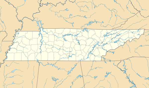
 Boyds Creek  Boyds Creek Location within the state of Tennessee | |
| Coordinates: 35°55′24″N 83°39′33″W / 35.92333°N 83.65917°WCoordinates: 35°55′24″N 83°39′33″W / 35.92333°N 83.65917°W | |
| Country | United States |
| State | Tennessee |
| County | Sevier |
| Elevation | 899 ft (274 m) |
| Time zone | Eastern (EST) (UTC-5) |
| • Summer (DST) | EDT (UTC-4) |
| ZIP codes | 37876 |
| GNIS feature ID | 1314721[1] |
Boyds Creek is an unincorporated community in Sevier County, Tennessee, United States. It is named for a small southward-flowing tributary of the French Broad River of the same name, which itself derives its name from a Virginian trader, killed by a band of Cherokee Indians, whose body was thrown into the stream. The creek was the site of a 1780 battle (The Battle of Boyd's Creek) between white settlers and Cherokee angry at the settlers' encroachment onto their hunting territory.[2]
Geography
The community has a mean elevation of 899 feet (274 metres).[1]
References
This article is issued from Wikipedia - version of the 7/31/2016. The text is available under the Creative Commons Attribution/Share Alike but additional terms may apply for the media files.