Chester Field (Laurel Bay, South Carolina)
|
Chester Field | |
| Nearest city | Laurel Bay, South Carolina |
|---|---|
| Area | 1.5 acres (0.61 ha) |
| NRHP Reference # | 70000565[1] |
| Added to NRHP | October 15, 1970 |
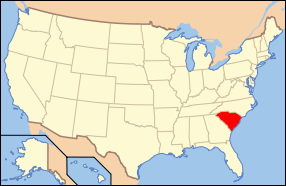
Chester Field, located in Beaufort County, South Carolina, is one of the nearly two dozen prehistoric shell rings that run from the center coast of South Carolina to the central coast of Georgia.[2][3] Archaeologists date the pottery that has been found at these sites to be in the second millennium BC, this placing the artifacts among the earliest pottery of North America. The purpose or use of the ring shape is not known. This “address restricted” site was listed in the National Register of Historic Places on October 15, 1970.[1]
References
- 1 2 National Park Service (2010-07-09). "National Register Information System". National Register of Historic Places. National Park Service.
- ↑ Hemmings, E. Thomas (April 15, 1970). "Chester Field (38BU29)" (pdf). National Register of Historic Places - Nomination and Inventory. Retrieved 7 December 2012.
- ↑ "Chester Field, Beaufort County (Address Restricted)". National Register Properties in South Carolina. South Carolina Department of Archives and History. Retrieved 7 December 2012.
This article is issued from Wikipedia - version of the 6/21/2016. The text is available under the Creative Commons Attribution/Share Alike but additional terms may apply for the media files.

