Donatville
| Atmore | |
|---|---|
| Hamlet | |
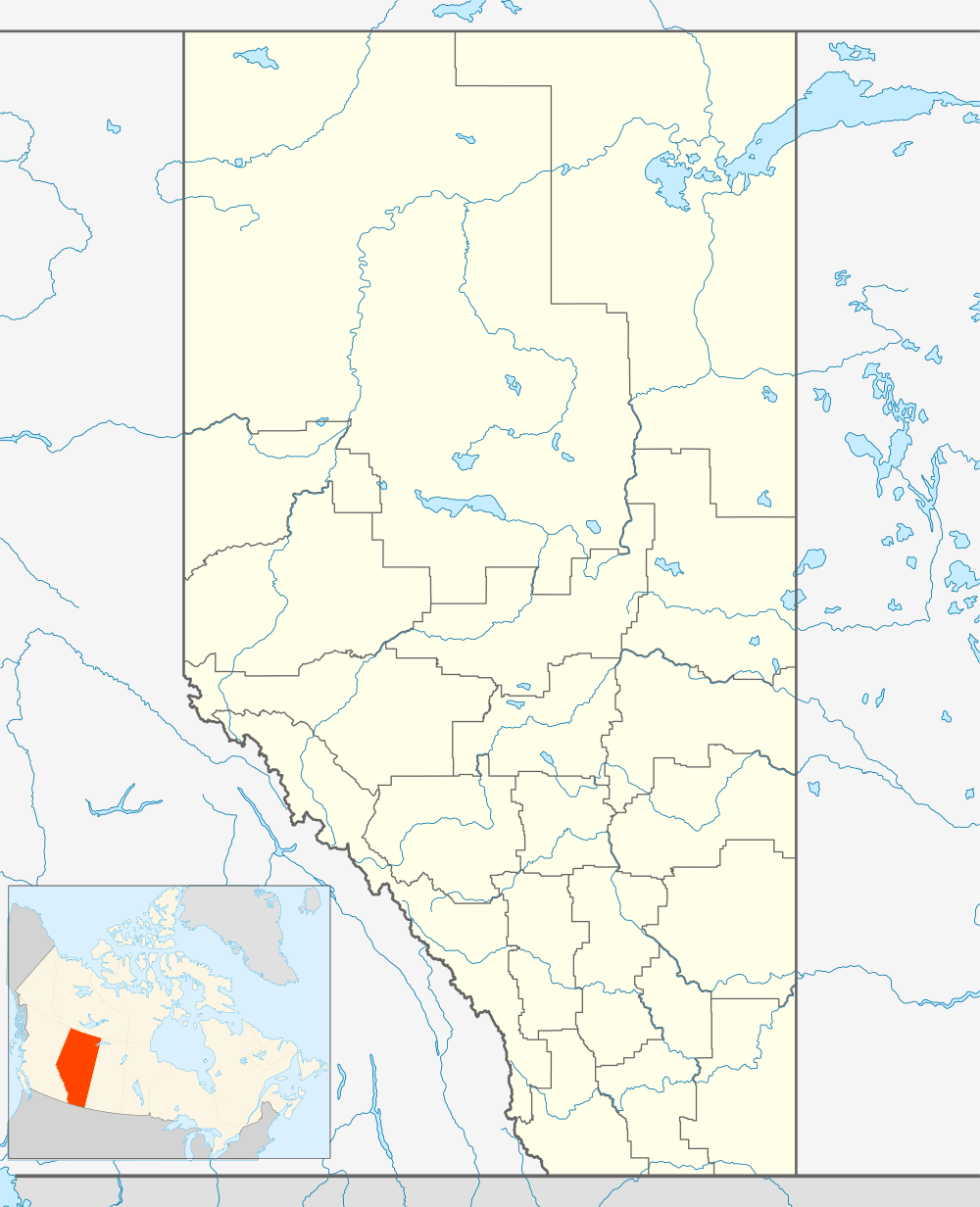 Atmore Location of Atmore in Alberta | |
| Coordinates: 54°44′50″N 112°48′14″W / 54.74722°N 112.80389°WCoordinates: 54°44′50″N 112°48′14″W / 54.74722°N 112.80389°W | |
| Country |
|
| Province |
|
| Region | Northern Alberta |
| Census division | 13 |
| Municipal district | Athabasca County |
| Government[1] | |
| • Reeve | Doris Splane |
| • Governing body |
Athabasca County Council
|
| Time zone | MST (UTC-7) |
| • Summer (DST) | MDT (UTC-6) |
| Website |
www |
Donatville is a hamlet in northern Alberta in Athabasca County,[2] located on Highway 63, 118 kilometres (73 mi) northeast of Fort Saskatchewan. The first school opened in 1915.[3]
Demographics
As a designated place in the 2011 Census, Donatville had a population of 5 living in 3 of its 6 total dwellings, a 0% change from its 2006 population of 0. With a land area of 0.66 km2 (0.25 sq mi), it had a population density of 7.6/km2 (19.6/sq mi) in 2011.[4]
See also
References
- ↑ "Municipal Officials Search". Alberta Municipal Affairs. November 18, 2016. Retrieved November 21, 2016.
- ↑ Alberta Municipal Affairs (2010-04-01). "Specialized and Rural Municipalities and Their Communities" (PDF). Retrieved 2010-06-20.
- ↑ Boyle and District Historical Society (1982). Forests, furrows and faith : a history of Boyle and districts. Boyle. p. 25.
- ↑ "Population and dwelling counts, for Canada, provinces and territories, and designated places, 2011 and 2006 censuses (Alberta)". Statistics Canada. 2012-02-08. Retrieved 2012-04-07.
This article is issued from Wikipedia - version of the 5/9/2014. The text is available under the Creative Commons Attribution/Share Alike but additional terms may apply for the media files.