Cherhill, Alberta
| Cherhill | |
|---|---|
| Hamlet | |
|
An entrance sign of Cherhill | |
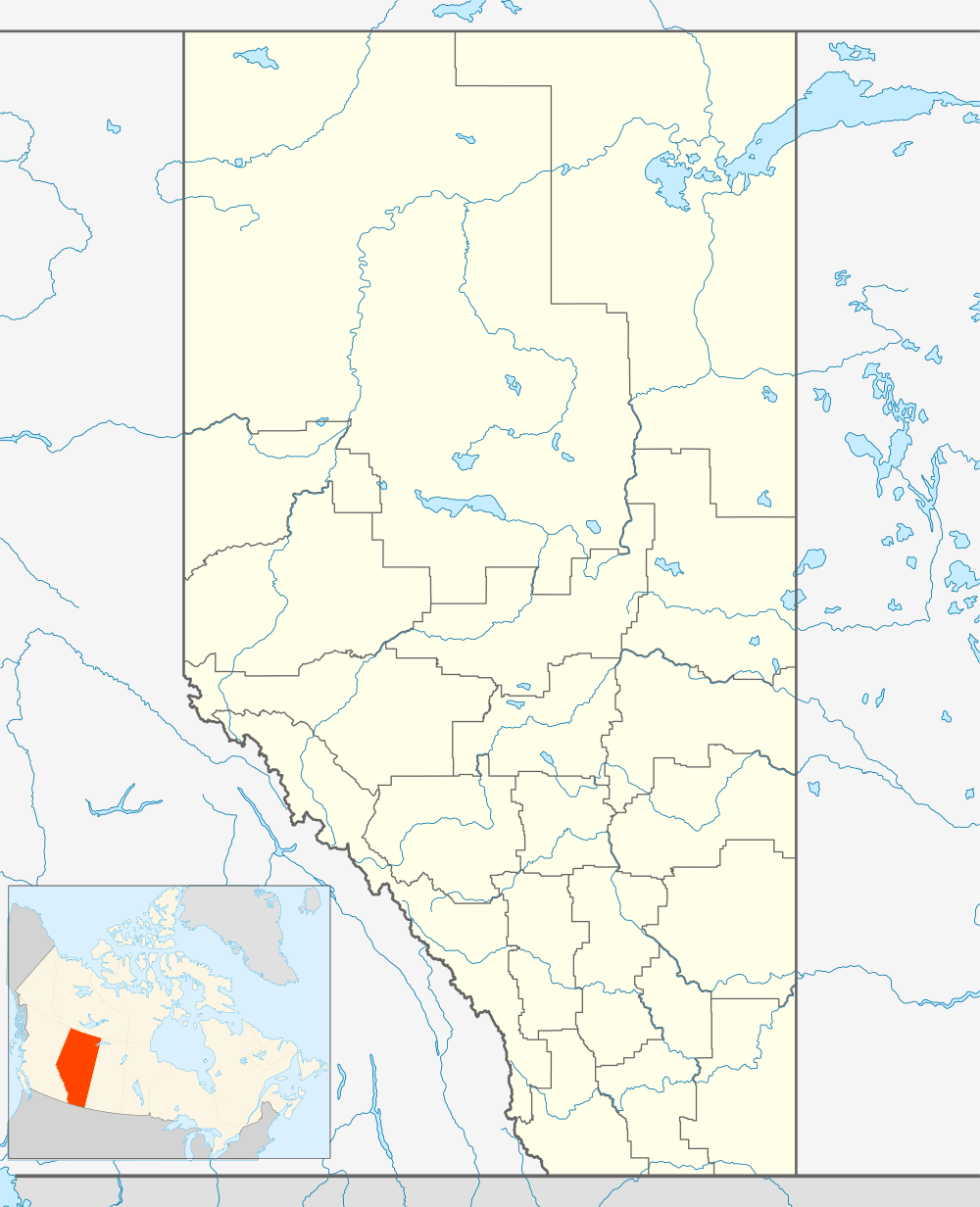 Location of Cherhill in Alberta | |
| Coordinates: 53°49′09″N 114°40′38″W / 53.8192°N 114.6772°W | |
| Country |
|
| Province |
|
| Census division | No. 13 |
| Municipal district | Lac Ste. Anne County |
| Government | |
| • Type | Unincorporated |
| • Reeve | William Hegy |
| • Governing body |
Lac Ste. Anne County Council
|
| Time zone | MST (UTC-7) |
-Entrence-Sign-enlarged.jpg)
Cherhill is a hamlet in Alberta, Canada within Lac Ste. Anne County.[1] It is located along Highway 43, approximately 35 kilometres (22 mi) east of Mayerthorpe and 82 kilometres (51 mi) northwest of Edmonton.
The hamlet is located in census division No. 13.
Demographics
Statistics Canada has not recently published a population for Cherhill.
However, Industry Canada shows that Cherhill's greater rural area had a total population of 393 living in 176 dwellings in 2001. With a land area of 187.91 km2 (72.55 sq mi), its greater rural area has a population density of 2.1/km2 (5.4/sq mi).[2]
See also
- List of communities in Alberta
- List of hamlets in Alberta
- Cherhill, Wiltshire, England
References
- ↑ Alberta Municipal Affairs (2010-04-01). "Specialized and Rural Municipalities and Their Communities" (PDF). Retrieved 2010-06-28.
- ↑ Industry Canada/Web Archive (2006-11-04). "Cherhill - Community demographics (2001 census)". Retrieved 2010-02-07.
Coordinates: 53°49′09″N 114°40′38″W / 53.81917°N 114.67722°W
This article is issued from Wikipedia - version of the 11/21/2016. The text is available under the Creative Commons Attribution/Share Alike but additional terms may apply for the media files.