Echternacherbrück
| Echternacherbrück | ||
|---|---|---|
| ||
 Echternacherbrück | ||
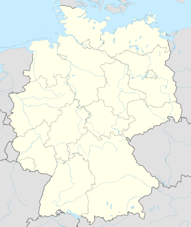
Location of Echternacherbrück within Eifelkreis Bitburg-Prüm district  | ||
| Coordinates: 49°48′47″N 06°25′43″E / 49.81306°N 6.42861°ECoordinates: 49°48′47″N 06°25′43″E / 49.81306°N 6.42861°E | ||
| Country | Germany | |
| State | Rhineland-Palatinate | |
| District | Eifelkreis Bitburg-Prüm | |
| Municipal assoc. | Südeifel | |
| Government | ||
| • Mayor | Ralf Schrauf | |
| Area | ||
| • Total | 4.74 km2 (1.83 sq mi) | |
| Population (2015-12-31)[1] | ||
| • Total | 850 | |
| • Density | 180/km2 (460/sq mi) | |
| Time zone | CET/CEST (UTC+1/+2) | |
| Postal codes | 54668 | |
| Dialling codes | 06525 | |
| Vehicle registration | BIT | |
| Website | echternacherbrück.eu | |

Echternacherbrück is a German municipality located on the Sauer river opposite the Luxembourgish town of Echternach. It is part of the district Bitburg-Prüm, in Rhineland-Palatinate. It includes the district of Fölkenbach. One of its main places of interest is the "Liboriuskapelle", a chapel located on the slopes of the Ferschweiler plateau.
References
- ↑ "Gemeinden in Deutschland mit Bevölkerung am 31. Dezember 2015" (PDF). Statistisches Bundesamt (in German). 2016.
This article is issued from Wikipedia - version of the 11/25/2016. The text is available under the Creative Commons Attribution/Share Alike but additional terms may apply for the media files.