Hawley, Kent
Coordinates: 51°25′13″N 0°13′21″E / 51.4204°N 0.2224°E
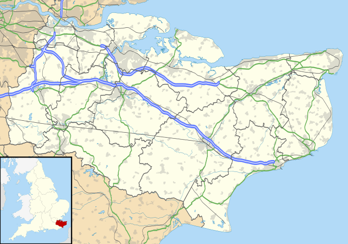
Hawley is a village near Dartford in Kent, England.[1] It is part of the Sutton-at-Hone and Hawley civil parish. It is one half of Sutton-at-Hone and Hawley ward on Dartford Borough Council, the Councillors are Tony Martin and Pat Coleman.
In the Imperial Gazetteer of England and Wales (1870–72), John Marius Wilson described Hawley:
HAWLEY, a place in Sutton-at-Hone parish, Kent; 1½ mile N of Sutton-at-Hone village. It has paper mills.[2]
References
- ↑ Ordnance Survey: Landranger map sheet 177 East London (Billericay & Gravesend) (Map). Ordnance Survey. 2011. ISBN 9780319232125.
- ↑ "A Vision of Britain Through Time: Hawley". www.visionofbritain.co.uk. GB Historical GIS/University of Portsmouth. Retrieved 18 March 2016.
This article is issued from Wikipedia - version of the 9/11/2016. The text is available under the Creative Commons Attribution/Share Alike but additional terms may apply for the media files.

