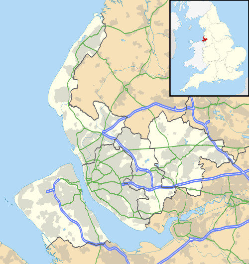
Kew, Merseyside
| Kew | |
| Church of St. Francis of Assisi, Kew |
|
 Kew |
|
| Metropolitan borough | Sefton |
|---|---|
| Metropolitan county | Merseyside |
| Region | North West |
| Country | England |
| Sovereign state | United Kingdom |
| Post town | SOUTHPORT |
| Postcode district | PR8 |
| Dialling code | 01704 |
| Police | Merseyside |
| Fire | Merseyside |
| Ambulance | North West |
| EU Parliament | North West England |
| UK Parliament | Southport |
|
|
Coordinates: 53°37′48″N 2°58′41″W / 53.630°N 2.978°W
Kew is a suburb of Southport, a seaside town in Sefton, Merseyside, England. It makes up the south eastern edge of the town, bordering Scarisbrick. It is a middle class area of mostly modern development.
The area was originally a 12-acre garden & zoological site in the 1880s, named after Kew Gardens in Surrey. Visitors to the Town would travel via horse tram to enjoy the gardens, pavilion & lake which had gondoliers. Parts of the lake & gardens still survive. Modern day Kew is a mid-late 20th century housing estate close to the Hospital which was built on Blowick Moss & also former playing fields. The roads are mainly named after horse racing venues & the area includes a small shopping area, a primary school (Kew Woods) & a pub named The Pageant.
It is one of Southport's smallest suburbs.
| Wikimedia Commons has media related to Kew, Merseyside. |