Lhota pod Radčem
| Lhota pod Radčem | |
|---|---|
| Municipality | |
 | |
 Location in Rokycany District | |
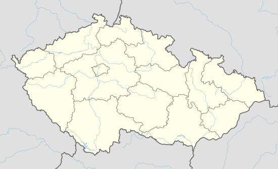 Lhota pod Radčem Location in the Czech Republic | |
| Coordinates: 49°49′41″N 13°42′34″E / 49.82806°N 13.70944°ECoordinates: 49°49′41″N 13°42′34″E / 49.82806°N 13.70944°E | |
| Country |
|
| Region | Plzeň |
| District | Rokycany |
| Area | |
| • Total | 7.36 km2 (2.84 sq mi) |
| Elevation | 498 m (1,634 ft) |
| Population (2016-01-01) | |
| • Total | 323 |
| • Density | 44/km2 (110/sq mi) |
| Postal code | 337 01 |
Lhota pod Radčem is a village and municipality (obec) in Rokycany District in the Plzeň Region of the Czech Republic.
The municipality covers an area of 7.36 square kilometres (2.84 sq mi), and has a population of 299 (as at 2 October 2006).
Lhota pod Radčem lies approximately 13 kilometres (8 mi) north-east of Rokycany, 26 km (16 mi) east of Plzeň, and 59 km (37 mi) south-west of Prague.
References
| Wikimedia Commons has media related to Lhota pod Radčem. |
This article is issued from Wikipedia - version of the 6/13/2016. The text is available under the Creative Commons Attribution/Share Alike but additional terms may apply for the media files.