Mała Góra
| Mała Góra | |
|---|---|
 Mała Góra | |
| Coordinates: 50°40′21″N 17°33′51″E / 50.67250°N 17.56417°E | |
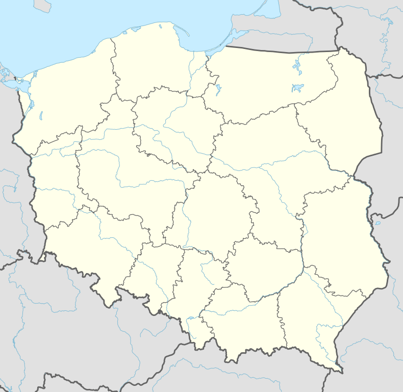
| Country |
|
| Voivodeship | Opole |
| County | Opole County |
| Gmina | Gmina Niemodlin |
| Time zone | CET (UTC+1) |
| • Summer (DST) | CEST (UTC+2) |
| Area code(s) | +48 77 |
| Car plates | OPO |
Mała Góra [ˈmawa ˈɡura] is a hamlet in the administrative district of Gmina Niemodlin, within Opole County, Opole Voivodeship, in south-western Poland.[1] It lies approximately 6 kilometres (4 mi) north-west of Niemodlin and 27 km (17 mi) west of the regional capital Opole.
Before 1945 the area was part of Germany (see Territorial changes of Poland after World War II).
See also
References
| Town and seat |  | |
|---|---|---|
| Villages | ||
Coordinates: 50°40′21″N 17°33′51″E / 50.67250°N 17.56417°E
This article is issued from Wikipedia - version of the 4/23/2016. The text is available under the Creative Commons Attribution/Share Alike but additional terms may apply for the media files.