Mairie de Montreuil (Paris Métro)
| Paris Métro station | |||||||||||
 | |||||||||||
| Location |
Montreuil, Seine-Saint-Denis Île-de-France France | ||||||||||
| Coordinates | 48°51′44″N 2°26′31″E / 48.862283°N 2.441847°ECoordinates: 48°51′44″N 2°26′31″E / 48.862283°N 2.441847°E | ||||||||||
| Owned by | RATP | ||||||||||
| Operated by | RATP | ||||||||||
| Other information | |||||||||||
| Fare zone | 1 | ||||||||||
| History | |||||||||||
| Opened | 14 October 1937 | ||||||||||
| Services | |||||||||||
| |||||||||||
| Location | |||||||||||
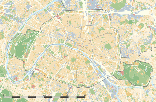
 Mairie de Montreuil Location within Paris | |||||||||||
Mairie de Montreuil is a station on line 9 of the Paris Métro near the Mairie de Montreuil (Montreuil town hall).
The station was opened on 14 October 1937 with the extension of the line from Porte de Montreuil.
Station layout
| Street Level |
| B1 | Mezzanine |
| Line 9 platforms | ||
| Westbound | ← | |
| Eastbound | | |
| Wikimedia Commons has media related to Mairie de Montreuil (Paris Metro). |
References
- Roland, Gérard (2003). Stations de métro. D’Abbesses à Wagram. Éditions Bonneton.
This article is issued from Wikipedia - version of the 11/18/2016. The text is available under the Creative Commons Attribution/Share Alike but additional terms may apply for the media files.