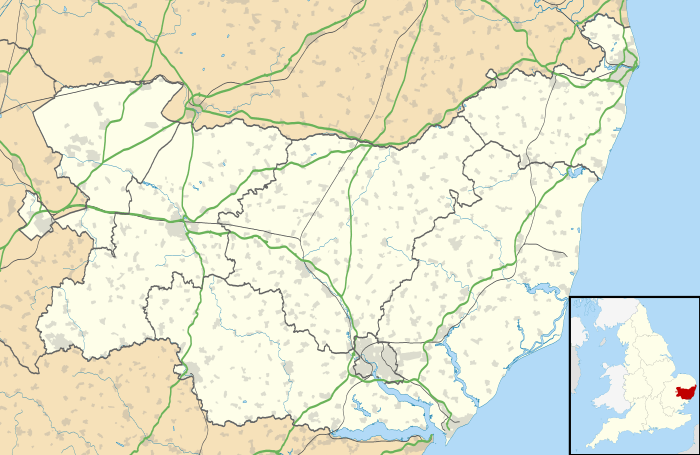
Naughton, Suffolk
| Naughton | |
 |
|
 Naughton |
|
| Population | 380 (2001 census) |
|---|---|
| OS grid reference | TM020480 |
| District | Babergh |
| Shire county | Suffolk |
| Region | East |
| Country | England |
| Sovereign state | United Kingdom |
| Post town | Ipswich |
| Postcode district | IP7 |
| EU Parliament | East of England |
Coordinates: 52°00′00″N 0°57′25″E / 52.0°N 0.957°E
Naughton is a village located in Suffolk, England.[1] It is 10 miles (16 km) north-west of Ipswich and 7 miles (11 km) south-west of Stowmarket. It lies within the Cosford Hundred of Suffolk. It is often joined with two other villages in the area Nedging-with-Naughton (where the population is also included).
Naughton is formed from the junction of two roads, the Whatfield Road which comes in from the south-west and heads north to Nedging Tye and New Road which comes in from the south-east. St. Mary's church is a 14th-century flint built church stands at the centre of the village, just west of this junction.
History
Sir Henry Adair was lord of the manor in the past.
Present day
It lies just to the south of RAF Wattisham. There is one pub in the village, the Wheelhouse (formerly Wheeler's Arms) and dates from the 17th century.
There are four farms in the area; Cooper's Farm (to the north); Brickhouse Farm (to the east); Fidget's Farm (to the south-west); and High Tree Farm (to the south)