Peanut, California
| Peanut, California | |
|---|---|
| Unincorporated community | |
 Peanut, California | |
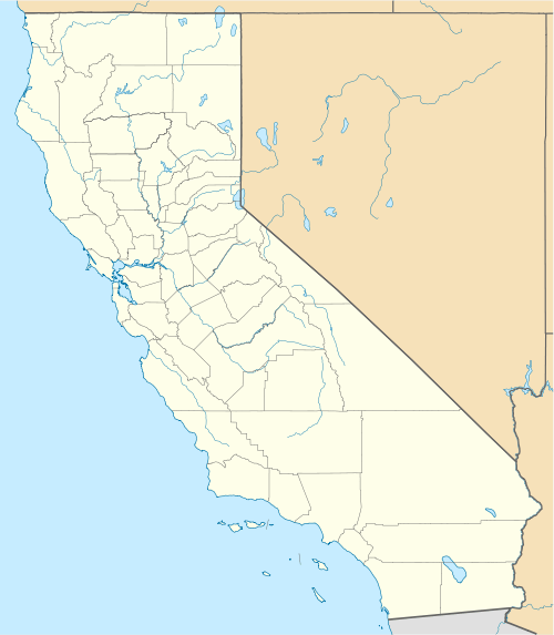
| Coordinates: 40°28′05″N 123°10′07″W / 40.46806°N 123.16861°WCoordinates: 40°28′05″N 123°10′07″W / 40.46806°N 123.16861°W | |
| Country | United States |
| State | California |
| County | Trinity |
| Elevation | 2,579 ft (786 m) |
| Time zone | Pacific (PST) (UTC-8) |
| • Summer (DST) | PDT (UTC-7) |
| Area code(s) | 530 |
| GNIS feature ID | 264592[1] |
Peanut is an unincorporated community in Trinity County, California. It is located on Highway 3, south of Hayfork and north of Highway 36 at an elevation of 2,499 feet (762 m).
History
A post office called Peanut was established in 1900, and remained in operation until it was discontinued in 1933.[2] The first postmaster's fondness of peanuts caused the name to be selected.[3]
References
- ↑ "Peanut". Geographic Names Information System. United States Geological Survey.
- ↑ "Trinity County". Jim Forte Postal History. Retrieved 12 February 2015.
- ↑ Trask, Larry; Trask, Robert Lawrence (January 2010). Why Do Languages Change?. Cambridge University Press. p. 77. ISBN 978-0-521-83802-3.
Municipalities and communities of Trinity County, California, United States | ||
|---|---|---|
| CDPs | 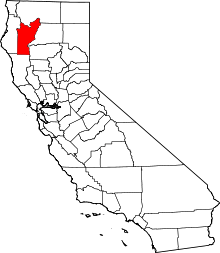 | |
| Unincorporated communities | ||
| Indian reservation | ||
| Ghost towns | ||
This article is issued from Wikipedia - version of the 10/16/2016. The text is available under the Creative Commons Attribution/Share Alike but additional terms may apply for the media files.