Piuro
| Piuro | |
|---|---|
| Comune | |
| Comune di Piuro | |
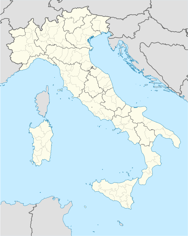 Piuro Location of Piuro in Italy | |
| Coordinates: 46°20′N 9°25′E / 46.333°N 9.417°ECoordinates: 46°20′N 9°25′E / 46.333°N 9.417°E | |
| Country | Italy |
| Region | Lombardy |
| Province / Metropolitan city | Province of Sondrio (SO) |
| Frazioni | Savogno |
| Area | |
| • Total | 85.4 km2 (33.0 sq mi) |
| Population (Dec. 2004) | |
| • Total | 1,938 |
| • Density | 23/km2 (59/sq mi) |
| Time zone | CET (UTC+1) |
| • Summer (DST) | CEST (UTC+2) |
| Postal code | 23020 |
| Dialing code | 0343 |
| Website | Official website |
Piuro (German: Plurs) is a comune (municipality) in the Province of Sondrio in the Italian region Lombardy, located about 100 kilometres (62 mi) north of Milan and about 40 kilometres (25 mi) northwest of Sondrio, on the border with Switzerland. As of 31 December 2004, it had a population of 1,938 and an area of 85.4 square kilometres (33.0 sq mi).[1]
The municipality of Piuro contains the frazione (subdivision) Savogno.
Piuro borders the following municipalities: Avers (Switzerland), Campodolcino, Chiavenna, Ferrera (Switzerland), Madesimo, Novate Mezzola, Prata Camportaccio, San Giacomo Filippo, Soglio (Switzerland), Villa di Chiavenna.
On September 4, 1618, Piuro (then a Swiss village known as Plurs) was the site of one of the worst landslides in recorded history. The event, known as "Rodi avalanche" (somewhat inaccurately as the landslide was not composed of snow), completely wiped out Plurs and killed between 1,000 and 2,500 people.[2]
Demographic evolution

References
- ↑ All demographics and other statistics: Italian statistical institute Istat.
- ↑ "September 4, 1618: The landslide of Plurs".