Ravensthorpe, Northamptonshire
| Ravensthorpe | |
| Ravensthorpe Reservoir |
|
 Ravensthorpe |
|
| Population | 646 (2011) |
|---|---|
| OS grid reference | SP6670 |
| District | Daventry |
| Shire county | Northamptonshire |
| Region | East Midlands |
| Country | England |
| Sovereign state | United Kingdom |
| Post town | Northampton |
| Postcode district | NN6 |
| Dialling code | 01604 |
| Police | Northamptonshire |
| Fire | Northamptonshire |
| Ambulance | East Midlands |
| EU Parliament | East Midlands |
| UK Parliament | Daventry |
|
|
Coordinates: 52°19′43″N 1°01′32″W / 52.3286°N 1.0256°W
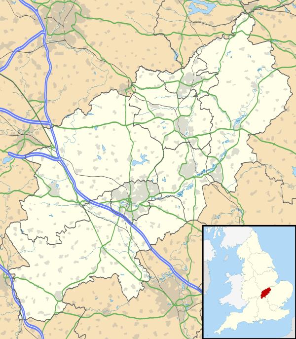
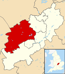
Ravensthorpe is a village and civil parish in the Daventry district of the county of Northamptonshire in England. The village lies approximately midway between Northampton and Rugby. The M1 motorway is six miles west and the nearest railway station is at Long Buckby. At the time of the 2001 census, the parish's population was 656 people,[1] including Coton but falling slightly to 646 at the 2011 census.[2]
Services within the village include a shop, the 'Chequers' pub, a playing field, a small park and a woodland maintained by the Woodland Trust.
Geography
The civil parish of Ravensthorpe includes nearby Coton. Nearby tourist attractions include Coton Manor Garden, Althorp House, and Holdenby House.
References
- ↑ Office for National Statistics: Ravensthorpe CP: Parish headcounts. Retrieved 18 November 2009
- ↑ "Civil Parish population 2011". Neighbourhood Statistics. Office for National Statistics. Retrieved 1 July 2016.
External links
| Wikimedia Commons has media related to Ravensthorpe, Northamptonshire. |
- Village website
- Parish council details
- Map sources for Ravensthorpe, Northamptonshire
