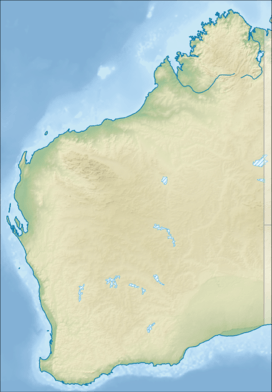
Troughton Island
| Troughton Island Western Australia | |||||||
|---|---|---|---|---|---|---|---|
 Troughton Island | |||||||
| Coordinates | 13°45′S 126°08′E / 13.750°S 126.133°ECoordinates: 13°45′S 126°08′E / 13.750°S 126.133°E | ||||||
| Population | 2 | ||||||
| • Density | 2.2/km2 (5.6/sq mi) | ||||||
| Elevation | 27 m (89 ft) | ||||||
| Area | 0.93 km2 (0.4 sq mi) | ||||||
| Time zone | AWST (UTC+8) | ||||||
| Location | 19 km (12 mi) W of Shire of Wyndham-East Kimberley | ||||||
| State electorate(s) | Kimberley | ||||||
| Federal Division(s) | Durack | ||||||
| |||||||
Troughton Island is an island located off the Kimberley coast of Western Australia
History
The island was found and named in 1819 by Phillip Parker King after his expedition discovered the Sir Graham Moore Islands Airline company ShoreAir Pty Ltd has opened an operated an airport on the island since the sixties.[1] It has had weather records due to its location [2] It is a reference point for hydrographic surveys [3]
References
- ↑ "LIFE ON A TROPICAL ISLAND.". The Australian Women's Weekly (1933 - 1982). 1933 - 1982: National Library of Australia. 13 December 1967. p. 85. Retrieved 16 January 2016.
- ↑ http://pandora.nla.gov.au/pan/44065/20050819-0000/www.bom.gov.au/climate/dwo/200409/html/IDCJDW6125.200409.html
- ↑ Australia. Royal Australian Navy. Hydrographic Service (1969), Lesueur Island to Troughton Island, Australia - north-west coast, Western Australia (Provisional [ed.] ed.), Australian Hydrographic Service, retrieved 16 January 2016
This article is issued from Wikipedia - version of the 3/27/2016. The text is available under the Creative Commons Attribution/Share Alike but additional terms may apply for the media files.