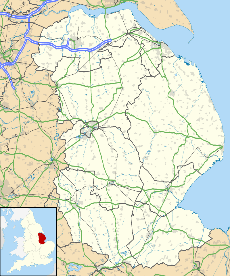
Walkerith
| Walkerith | |
 Walkerith |
|
| OS grid reference | SK787929 |
|---|---|
| – London | 135 mi (217 km) S |
| District | West Lindsey |
| Shire county | Lincolnshire |
| Region | East Midlands |
| Country | England |
| Sovereign state | United Kingdom |
| Post town | GAINSBOROUGH |
| Postcode district | DN21 |
| Police | Lincolnshire |
| Fire | Lincolnshire |
| Ambulance | East Midlands |
| EU Parliament | East Midlands |
| UK Parliament | Gainsborough |
|
|
Coordinates: 53°25′39″N 0°48′58″W / 53.427435°N 0.816088°W
Walkerith is a hamlet within the civil parish of East Stockwith, in the West Lindsey district of Lincolnshire, England. It lies on the east bank of the River Trent, 2.5 miles (4.0 km) north-west from Gainsborough and 1.5 miles (2.4 km) south from East Stockwith.
In 1885 Kelly's Directory recorded the village as a township within the ecclesiastical parish of East Stockwith, with its own ferry across the Trent, an area of 253 acres (1.02 km2), an 1881 population of 87, and a Wesleyan chapel built in 1834.[1][2][3] Prior to 1866 Walkerwith was, for administrative purposes, a Township, afterwards a civil parish.[4][5]
References
- ↑ Kelly's Directory of Lincolnshire with the port of Hull 1885, pp. 662, 663
- ↑ Lincolnshire Parish Councils: West Lindsey, Lincolnshire.gov.uk; Pdf download required. Retrieved 20 April 2012
- ↑ Bartholomew, John; Gazetteer of the British Isles 1887
- ↑ "Walkerith CP/Tn", Great Britain Historical GBHGIS, University of Portsmouth. Retrieved 20 April 2012
- ↑ Youngs, F.; Local Administrative Units: Northern England; London: Royal Historical Society, 1991, p. 286.
External links
- "Walkerith CP/Tn: Census Tables" Walkerwith Census data; Visionofbritain.org.uk 1881-1961; Retrieved 20 April 2012
- "East Stockwith", Genuki.org.uk. Retrieved 20 April 2012
This article is issued from Wikipedia - version of the 11/19/2014. The text is available under the Creative Commons Attribution/Share Alike but additional terms may apply for the media files.
