Zygi
| Zygi | |
|---|---|
 Zygi | |
| Coordinates: 34°44′N 33°20′E / 34.733°N 33.333°ECoordinates: 34°44′N 33°20′E / 34.733°N 33.333°E | |
| Country |
|
| District | Larnaca District |
| Population (2011)[1] | |
| • Total | 589 |
| Time zone | EET (UTC+2) |
| • Summer (DST) | EEST (UTC+3) |
| Website |
www |
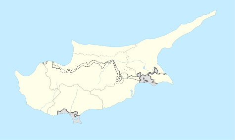
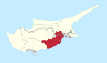
Zygi (Greek: Ζύγι; Turkish: Terazi) is a small village on the south coast of Cyprus, between Limassol and Larnaca. Before 1974, Zygi had a mixed Greek- and Turkish-Cypriot population.[2]
The Evangelos Florakis Navy Base explosion of 11 July 2011 damaged every house in the village.
References
- ↑ "Population - Place of Residence, 2011". Statistical Service of Cyprus (CYSTAT). 17 April 2014.
- ↑ "ZYGI". Internal Displacement in Cyprus. PRIO Cyprus Centre. Retrieved 4 November 2014.
This article is issued from Wikipedia - version of the 11/4/2014. The text is available under the Creative Commons Attribution/Share Alike but additional terms may apply for the media files.

