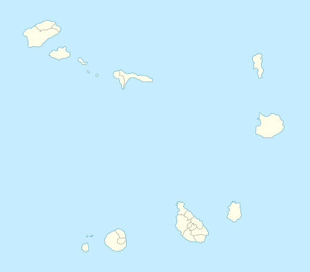
Ponta do Sol, Cape Verde
| Ponta do Sol | |
|---|---|
| Settlement | |
|
View of Ponta do Sol | |
 Ponta do Sol | |
| Coordinates: 17°12′07″N 25°05′35″W / 17.202°N 25.093°WCoordinates: 17°12′07″N 25°05′35″W / 17.202°N 25.093°W | |
| Country | Cape Verde |
| Island | Santo Antão |
| Municipality | Ribeira Grande |
| Civil parish | Nossa Senhora do Livramento |
| Population (2010)[1] | |
| • Total | 2,143 |
Ponta do Sol is the northernmost town on the island of Santo Antão and Cape Verde. It is situated on the coast, 4 km northwest of Ribeira Grande and 20 km north of the island capital Porto Novo. It is the seat of Ribeira Grande municipality. It is the northern terminus of the Ribeira Grande-Ponta do Sol Road. It has a tiny fishing port named Boca de Pistola, up to the late 20th century, it was the only point for markets, until the creation of the port in Porto Novo, it was used as a ferry port, the port was difficult to access.
Subdivisions
Ponta do Sol has six neighbourhoods including:
- Cavouquinho das Tintas
- Lombinho
- Lombo da Cruz
- Os Órgãos
- Ponta do Sol - Centre and the Old Airport
- Ribeira da Ponta do Sol
About the town
The point is located northwest of town and is 300 meters long, the northernmost point of Cape Verde extending up to the former Agostinho Neto Airport which was fully shut in 2007. Once natural, it is the only part were the extremity is on articially extended land and one of a few nations where the one of four extremities of the land is on artificially extended land.
The settlement along with Fontainhas were likely the first founded in 1584 and its first inhabitants came from Ponta do Sol in the Madeira Islands and later gave the name to the settlement of the settlers's origin. From the 1880s, when Maria Pia became queen up to around the 1950s, it was called Vila de María Pia, named after Maria Pia of Savoy, queen of Portugal. The older part of town features buildings made built in the 19th century with colonial architecture, its church is Nossa Senhora do Livramento built in the 18th century.
Its main industry are fishing and recently tourism. Beaches includes Aranhas and Motche[2]
Historical population
| Year | Population |
|---|---|
| 1990 (Census) | 1,505 |
| 2000 (Census) | around 2,000 4,029[3] |
| 2010 (Census)[4] | 2,143 |
Persons
- Jorge Ferreira Chaves, Portuguese architect
- Raul Pires Ferreira Chaves, Portuguese architect
- Gabriel António Costa (Nhô Kzik), violinist and multi-instrumentalist (d. 2005)
- Domingo Lima Costa, violinist and multi-instrumentalist
See also
References
| Wikimedia Commons has media related to Ponta do Sol, Cape Verde. |
- ↑ "2010 Census results". Instituto Nacional de Estatística Cabo Verde (in Portuguese). 17 March 2014.
- ↑ García, Jesús (2009). El mundo a tu aire: Cabo Verde. Madrid: Gaesa. p. 203. ISBN 978-84-8023-685-0.
- ↑ Including the area around town
- ↑ "2010 Census results Santo Antão". Instituto Nacional de Estatística Cabo Verde (in Portuguese). 23 March 2014.
