Injil District
| Injil انجیل | |
|---|---|
| District | |
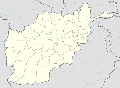 Injil Location within Afghanistan | |
| Coordinates: 34°18′00″N 62°15′00″E / 34.3001°N 62.2499°E | |
| Country |
|
| Province | Herat Province |
| Population (2012)[1] | |
| • Total | 237,800 |
Injil is a district of Herat Province in northwestern Afghanistan. It surrounds Herat City and borders Kushk District to the north, Karukh District to the east, Guzara District to the south, and Zinda Jan District to the west. The population of Injil District is 237,800 (as of 2012),[1] which includes the following ethnic groups: 55% Tajik, 40% Pashtun, 4% Hazara and 1% Turkmen.[2]
The headquarters or center of Injil District is also known as Injil. The Hari River flows on the southern border of the district, shared with Guzara District. Most parts of the district are plains and low mountains. Water is not as much of a problem as in other regions. The arable land is in use and irrigated. Agriculture is the main source of income in the district.
Infrastructure
A 100-day project in 2011 repaired the Ordokhan, Qala Farahiha, and Sawa roads and cleared and renovated 12 km of irrigation canals. The canal work improved irrigation to an estimated 400 hectares of agricultural land around Ordokhan Village.[3]
References
- 1 2 "Settled Population of Herat Province" (PDF). Central Statistics Organization. Retrieved 15 January 2016.
- ↑ AIMS (Afghanistan Information Management Services), UNHCR Sub-Office District Profile of Injil (PDF)
- ↑ "Infrastructure Revitalizes Injil District". USAID. Retrieved 15 January 2016.
External links
- Map of Settlements IMMAP, September 2011
See also
| Capital | 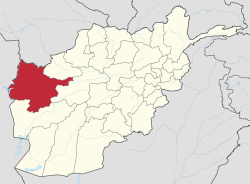 | |
|---|---|---|
| Districts | ||
| Cities | ||
| Landmarks |
| |