Pasaband District
| Pasaband پسابند | |
|---|---|
| District | |
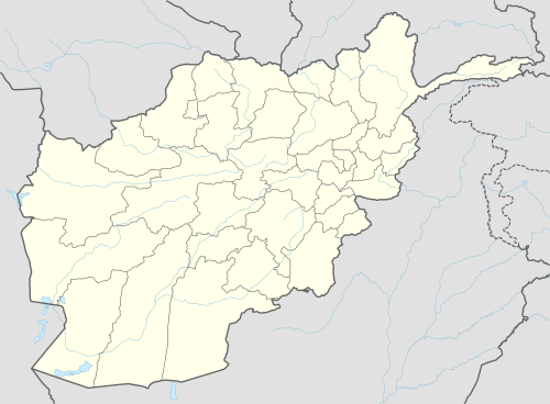 Pasaband Location within Afghanistan | |
| Coordinates: 33°41′27″N 64°51′23″E / 33.6908°N 64.8564°E | |
| Country |
|
| Province | Ghor Province |
| Area | |
| • Total | 4,537 km2 (1,752 sq mi) |
| Population (2012)[1] | |
| • Total | 92,900 |
Pasaband District is located in Ghor Province, Afghanistan. The population is 92,900[1] (11% Pashtun, 5% Hazara and 84% Tajik).[2] Located in the southern part of Ghor Province, Pasaband District borders Helmand Province to the south, Daykundi Province to the east, and Farah Province to the southwest. The district center is Shinkot.
Pasaband is a mountainous district and the winters are long and severe. Roads are not in good condition and some villages are accessible only using animals. Because of the inaccessibility of villages and the few wells, the people's access to clean water is a major problem. Agriculture is the main source of income and it is seriously affected by drought. The health and education need improvement.
Economy
The district suffers from a weak economy due to lack of access to basic health, social and infrastructure services, low agricultural and livestock production levels and quality, and weak performance of local government administrations.[3]
- Agricultural: wheat, barely, maize, onion, carrot and turnips.
- Handicrafts: carpet and rug weaving, tailoring and embroidery.
External links
- District Profile UNHCR, September 2002
- Map of Settlements AIMS, September 2011
References
- 1 2 "Settled Population of Ghor Province" (PDF). Central Statistics Organization. Retrieved 20 November 2015.
- ↑ "District Profile" (PDF). UNHCR. Retrieved 20 November 2015.
- ↑ "Summary of District Development Plan" (PDF). Pasaband District Development Assembly. Retrieved 20 November 2015.