Kushk District
| Kushk کوشک | |
|---|---|
| District | |
|
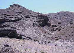
Rocks | |
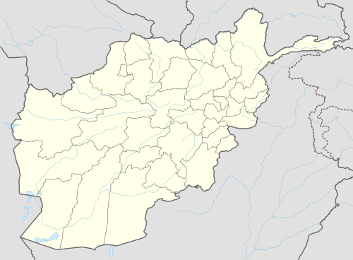 Kushk Location within Afghanistan | |
| Coordinates: 35°03′34″N 62°17′43″E / 35.0594°N 62.2953°E | |
| Country |
|
| Province | Herat Province |
| Population (2012)[1] | |
| • Total | 121,000 |
Kushk District is situated in the northern part of Herat Province, Afghanistan and may also may be referred to as Rubat-i-Sangin or Rabat-e-Sangi. It borders Turkmenistan to the north, Gulran District to the west, Zinda Jan District, Injil District and Karukh District to the south and Kushki Kuhna District to the east. The population is 121,000 (2012).[1]
The main road from Herat to Kushka in Turkmenistan passes through the district, along the Kushk River. Toraghundi is the main border crossing town.
Agriculture
The following table demonstrates the total amount of irrigated and rain-fed lands in the district.[2]
| Total (Jereb) | Irrigated (Jereb) | Rainfed (Jereb) | Forest (Hectare) |
|---|---|---|---|
| 458,207 | 66,753 | 391,454 | 93 |
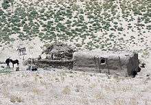 Farm |
External links
- Map of Settlements AIMS, August 2002
References
- 1 2 "Settled Population of Herat Province" (PDF). Central Statistics Organization. Retrieved 25 January 2016.
- ↑ "Herat Provincial Profile" (PDF). Ministry of Rural Rehabilitation and Development. Retrieved 25 January 2016.
| Capital | 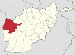 | |
|---|---|---|
| Districts | ||
| Cities | ||
| Landmarks |
| |
This article is issued from Wikipedia - version of the 9/11/2016. The text is available under the Creative Commons Attribution/Share Alike but additional terms may apply for the media files.