Pashtun Kot District
| Pashtun Kot پشتون کوت | |
|---|---|
| District | |
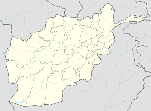 Pashtun Kot Location within Afghanistan[1] | |
| Coordinates: 35°49′N 64°47′E / 35.81°N 64.78°E | |
| Country |
|
| Province | Faryab Province |
| District | Pashtun Kot |
| Population [2] | |
| • Estimate (2002) | 277,000 |
Pashtun Kot (Kowt) district is located in the center of Faryab Province southeast from Maymana. The district center Pashtun Kot is a suburb of Maymana (35°54′42″N 64°47′12″E / 35.91167°N 64.78667°E,907 m altitude). The population is 277,000 (2002) with an ethnic composition of 5% Pashtun, 30% Tajik and 65% Uzbek.[2]
Between 24 April and 7 May 2014, flash flooding from heavy rainfall resulted in the destruction of public facilities, roads, and agricultural land. Assessment findings reported 319 families in total were affected, 6 people died, 517 livestock were killed, 350 gardens were damaged/destroyed, and 524 Jeribs of agricultural land was damaged/destroyed in Kata Qala, Nadir Abad, Nawe Khoshk, Chakab.[3]
External links
- Map of Settlements AIMS, May 2002
References
- ↑ "District Names". National Democratic Institute. Retrieved 5 October 2015.
- 1 2 "District Profile" (PDF). UNHCR. Retrieved 5 October 2015.
- ↑ "Afghanistan Flash Flood Situation Report" (PDF). International Organization for Migration. Retrieved 5 October 2015.