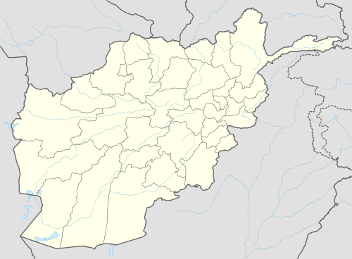
Yakawlang District
| Yakawlang یکاولنگ | |
|---|---|
| District | |
 Yakawlang Location within Afghanistan[1] | |
| Coordinates: 34°58′48″N 66°57′00″E / 34.98000°N 66.95000°E | |
| Country |
|
| Province | Bamyan Province |
| Elevation | 2,714 m (8,904 ft) |
| Population (2011) | |
| • Total | 76,897 |
Yakawlang District is located in the northwestern part of Bamyan Province. Its population is 76,897 (2011)[2] predominantly from the Hazara ethnic group. The capital city Yakawlang (altitude 2714m) formerly held 60,000 residents, and it was completely destroyed by Taliban forces in 2001. Massacres of civilians by the Taliban were reported by Human Rights groups.
There is a gravel surfaced airport near the city.
The road between the provincial capital Bamiyan city and Yakawlang district was asphalted on October 2012, reducing the four-hour distance to 80 minutes. The 98-kilometre road cost $70 million (3.6 billion Afghanis), the World Bank (WB) and Japan jointly funded project, and was implemented by a Korean road construction company in a period of four years.
References
- ↑ "District Names". National Democratic Institute. Retrieved 21 August 2015.
- ↑ "Bamiyan Socio-Demographic and Economic Survey" (PDF). Central Statistics Organization. Retrieved 21 August 2015.
External links
- UNHCR District Profile
- AIMS District Map
- Food Security Assessment in Afghan Rural Areas - District of Yakawlang - Bamyan Province by the NGO Solidarités
